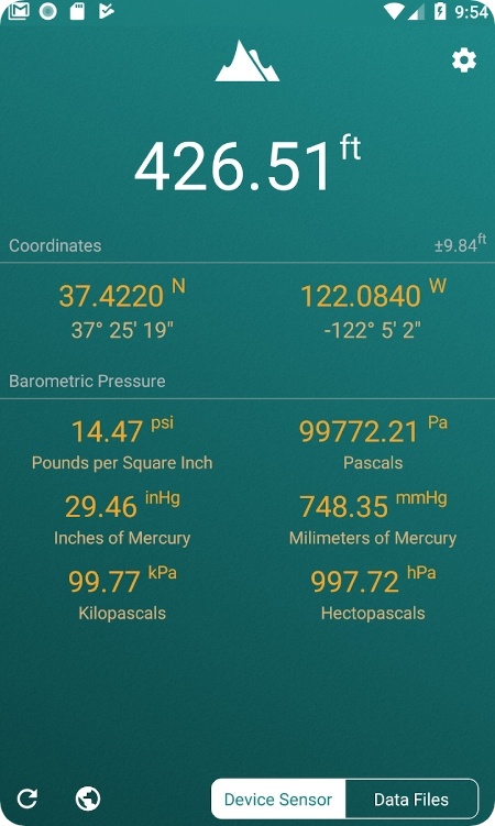
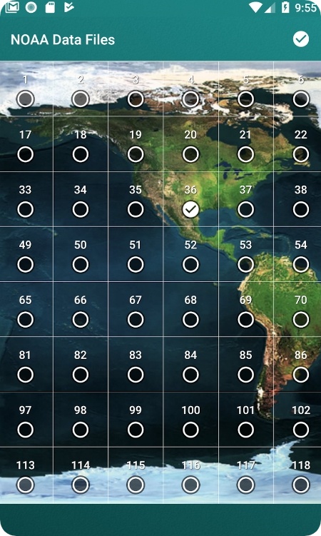
Have you ever been on a hike and wondered how high up you were? Want to ensure your trek goes smoothly without any unwanted detours? You’ve come to the right place.
We’ve got the top altimeter elevation apps for Android & iOS you could try. These apps are a hiker’s best mate and will keep you informed on your MSL, even when there’s no service.
Most apps cover other useful tools like a compass or dusk and dawn calculator. From accurate readings to beautiful graphics, these apps will take your hiking game to new heights. Let’s dive in!
Altimeter
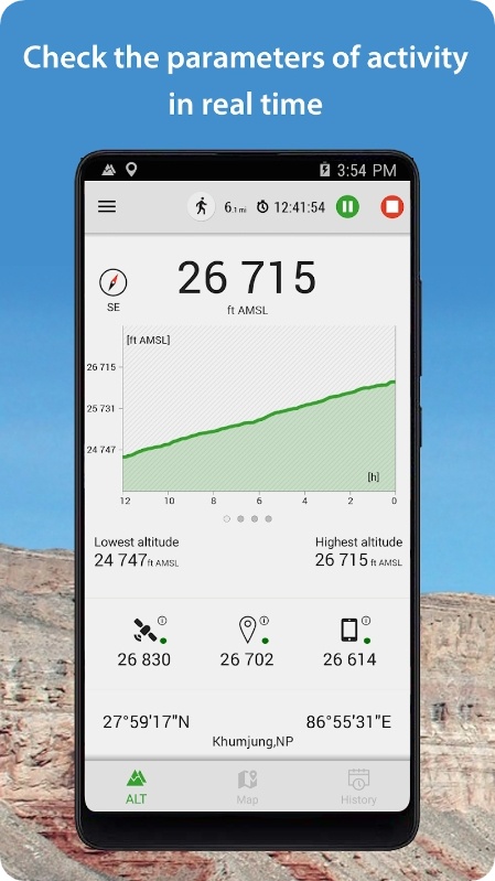
This app is a high-tech way to measure altitude during your outdoor adventures. It’s a treat for hikers, skiers, and anyone who likes to spend time outdoors. It gives you access to a variety of sensors to ensure you’re getting the most accurate results.
It uses several methods of measuring, too, including a barometer, satellite, or a classic GPS. OF even if one of those won’t be accessible, the app will still work just fine. Plus, you can even use all of the sensors together for even greater accuracy.
But the app doesn’t just give you the cold, hard numbers. It also comes with a nifty mini compass to help you stay on course, as well as full GPS coordinates. It even lets you share your summit-top altitude pics with your mates.
And with the ability to switch between meters and feet and easily record your lowest and highest altitude readings, the app has everything you need to take your outdoor adventures to new heights. It’s free to use, and the UI makes it accessible to everyone.
You may also like: 11 Best Measure Distance Software
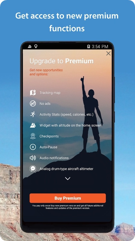
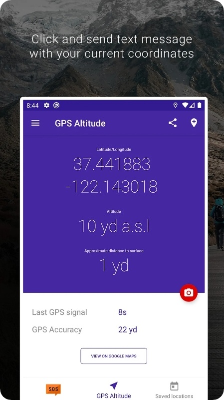
My Altitude and Elevation GPS
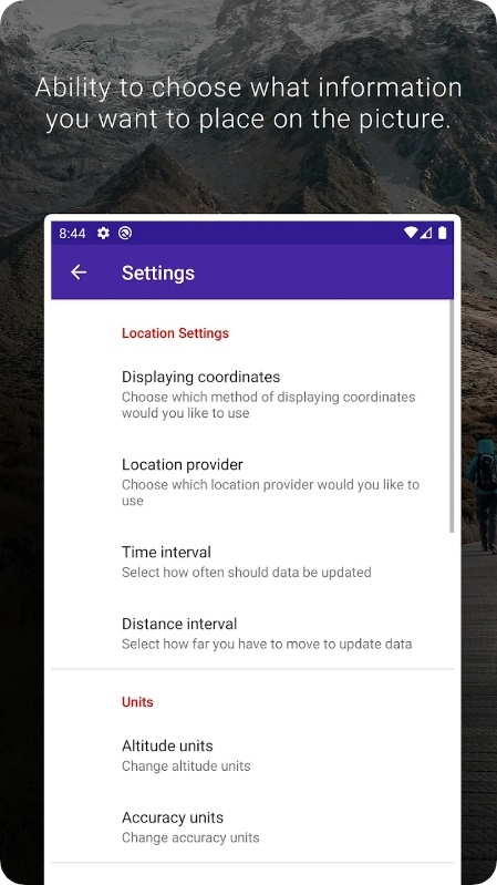
This little gem is an absolute must-have for anyone who loves to hike, climb, or just simply wander through nature. What really sets it apart from the rest is the variety of ways it can display your location. It works with DMS, DMM, and easy-to-read DD, so you’re all the way covered. It even works with UTM and MGRS options!
But this app isn’t just about staying on course; it’s also about documenting your adventures. You’ll be able to take shots and add GPS to them. It lets you easily share your journey with mates and fam.
The UI is simple, but if you’ll get confused, there’s an in-depth tutorial, so even technophobes will be able to use it. You can export all your saved locations to KML and GPX and even switch between devices with ease. No more fumbling around with separate storage solutions!
The altitude is a real game-changer. It uses your GPS receiver to determine your current altitude accurately. And it can also show your elevation about the ground lvl.
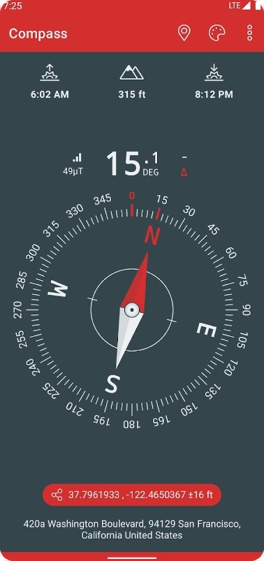
Compass & Altimeter
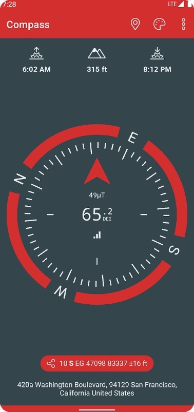
If you have a fear of getting lost in the wilderness without any help from techs, don’t get past this app. Let’s just start by saying that this app is a lifesaver for anyone who loves outdoor adventures. It operates offline, so you don’t have to worry about any network access issues while you’re out in the middle of nowhere.
The app uses magnetic declination to deliver true geographic north, so you can be sure you’re always headed in the right direction. And if you like to watch dusk and down (who isn’t?), you’ll love that this app gives you the times for both.
The app also lets you see your true AMS. It is also great for all you geography buffs out there, as it gives you latitude and longitude in various coordinate formats.
Want to impress your adventure buddies with some fancy angle measurements? This app can do that too, with dials that even have measuring capabilities. And if you could use a little help with keeping things leveled, the app has a bubble-level functionality if needed.
Elevation – Altimeter Map
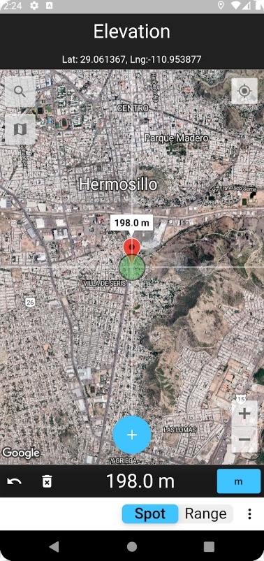
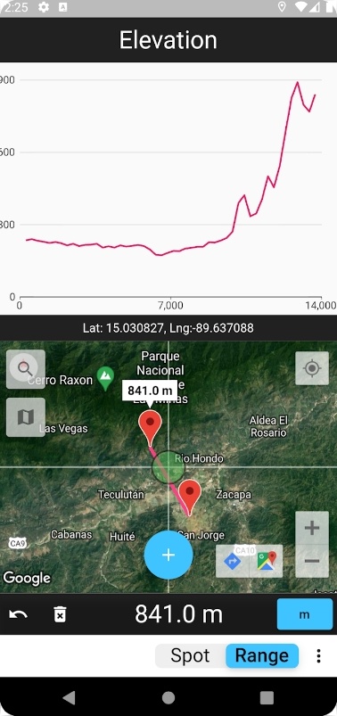
This app is a treat for those who enjoy exploring nature and hitting the hiking trails. It lets you easily see your current altitude and height above sea level.
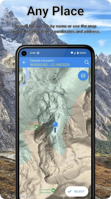
The best aspect of this one is how easy it is to use. It takes a few taps and swipes, and you can get the data of any location on the surface of the earth. You can either move the interactive maps around or type in the address and location you want to explore. And, with just a touch of your finger, you can even find the elevation of a specific point.
But, why bother knowing your height above sea level, you ask? Well, for starters, it can help you prepare better for your hikes and adventures. Living near the coast? Use this app to check the elevation of your nearby hiking trails.
Planning to buy a new house? This app can help you avoid homes in areas prone to flooding. Prepping for a survival trip? Knowing the exact altitude of your location can come in very handy.
Altimeter
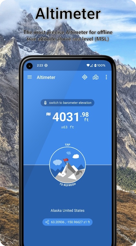
This app will do great help to any outdoor enthusiast. It serves as a reliable and accurate altimeter that shows accurate ASM data. It will exceed all of your expectations and will become a go-to tool for determining your true altitude.
You’ll surely appreciate that it doesn’t require a network connection to work. Thus, even when you’re off the grid and in flight mode you can still get an accurate reading of my altitude. It gets done with the help of GPS data or a barometer. It’s like having a mini altimeter in your pocket!
One of the standout aspects of this one is the ability to save the data at a specific location. It will be incredibly useful when you’re hiking or camping and want to remember the altitude of a particular spot.
It also covers an estimation of both altitude and horizontal accuracy. You can even use a widget that displays the current altitude in real-time. It won’t cost you a single dime to use the app, and there are no hidden fees here at all.
Check also: 9 Best Weather Overlay Widget Apps
My Elevation
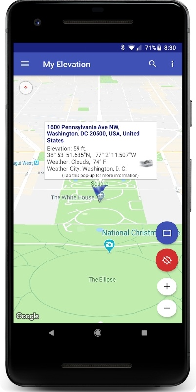
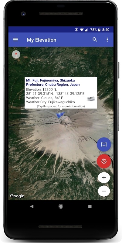
It’s a simple app the provides surface elevation based on latitude and longitude. First off, this app is not for determining altitude in an aircraft, high up in a building, or if you’re jumping on a trampoline. It simply shows your AMS based on where you are standing on the ground.
So, if you need an app that will tell you how high up in the sky you are, you might want to keep searching. This one is able to follow you in real time, updating data as you move.
Plus, it’s super satisfying to watch your movements on the map. You’ll feel like a real-life Sims character. You can also search for locations and watch the map fly over to them. You’ll truly feel like a spy on a top-secret mission. The app also shows the weather forecast and finds nearby attractions.
The mechanics are simple: just long-press a location on the map, and the app will give you all the deets. You can even add bookmarks to places you want to remember for later.
Altimeter Mountain
If you’re an avid hiker or outdoor enthusiast, this app is definitely worth checking out. This app transforms your phone into a full-on altimeter and provides accurate data on your elevation above sea level.
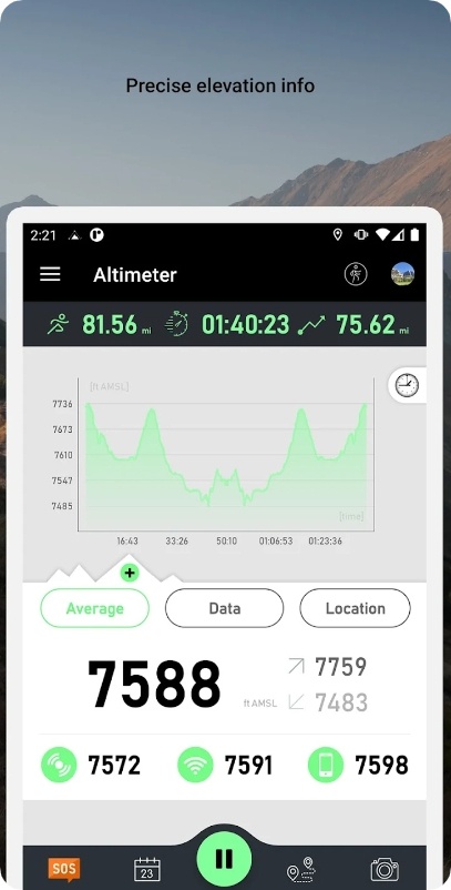
What sets this one apart is that it uses multiple sources of data. That includes GPS, satellite, and a built-in barometer (although even if your phone lacks this one, the app will still work!). Thus, you’ll always get precise info on your altitude, no matter where you are.
But here’s where things get really exciting: the app seamlessly integrates with a range of smartwatches out there. That means you don’t even need to use your phone while hiking, simply add a widget to your watch and check your altitude at any time.
The app even displays your route in real-time, so you can see how your elevation rises and falls as you explore. And best of all, all the data is saved automatically, so you can always look back and review your experiences at any time. You can even turn on a calorie counter and milestone notifications.
Altimeter GPS
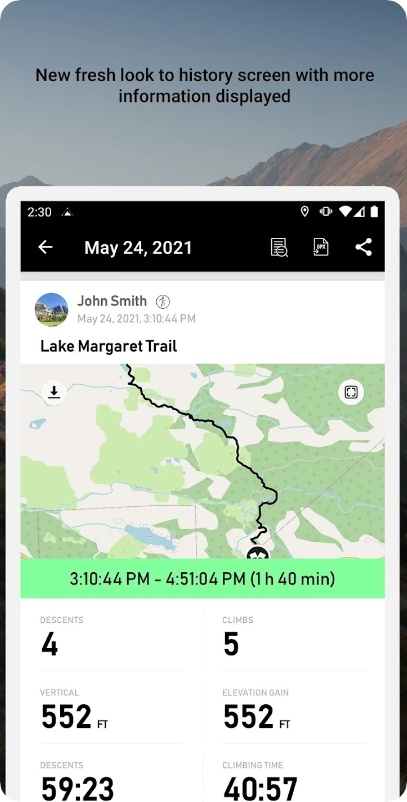
Here’s a multi-purpose app to cover all your outdoor needs. It has everything you could possibly want, including an altimeter, navigator, compass, and much more.
Let’s start with the offline capabilities. No need to worry about losing service in the middle of the wilderness, this app operates offline. And the lvl of detail in the map is impressive: you can even make predefined postings and easily navigate back to them. Plus, adding multiple waypoints makes retracing your steps a breeze.
But what really sets this one apart is the altimeter and barometer. The elevation updates in real-time, and you can switch between units to fit your prefs. And the barometer lets you see the ambient pressure history for the past two days, so you’ll know if a storm is on the horizon.
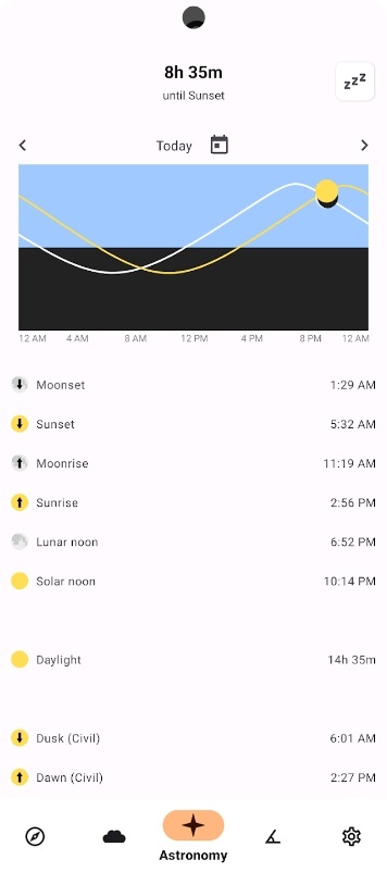
Speaking of storms, the weather tool is fantastic. Not only does it give you a forecast, but it will also notify you of any unsafe conditions to be aware of. And for those early risers or late-night adventurers, the app even has a tool for dawn and dusk times.
Altimeter Professional
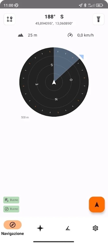
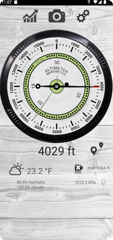
This app will become a companion for all the hiking buffs out there. It’s a versatile tool that will surely elevate your outdoor exp. it works simply: with just one tap, you can easily find your altitude and atmospheric pressure.
And if you’re worried about getting lost, fear not: the real-time compass will adjust to your movements, ensuring that you never miss a beat. But that’s just the beginning. The app also covers a real-time speedometer, so you can monitor your progression as you traverse the great outdoors.
And for those who want to take things to the next level, there’s even a built-in step counter. And let’s not forget about the weather. You’ll always be in the know with this one: there are all the basic metrics you need, including wind speed and a forecast that’s updated 24/7. Thus, you’ll never be caught off guard.
But what really sets it apart is its incredible binocular. With a high-quality zoom, you’ll be able to see things in unprecedented detail. And if things get really hairy, the app even has a torch and SOS button.
You may also check: 11 Best Land Surveying Apps
My Altitude
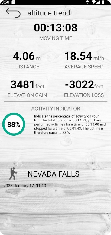
To wrap up, there’s a reliable app that calcs altitude without any web connection. This nifty tool makes checking MSL data an absolute breeze, no matter where you are.
The app uses not one, not two, but three methods to estimate elevation. This means that even if one method isn’t available (say, the GPS signal isn’t strong enough), the other two provide reliable backups. You don’t have to worry about being out of service or losing your data connection too, there’s no need for it.
And let’s talk about precision. The app ensures to give you the most accurate results possible. You can trust that the numbers you’re getting are on point, even if you’re up in the mountains or deep in the valley.
You can also save areas on the map for offline access. This is super helpful if you’re in an area with spotty or no service. Plus, the maps include peak names and contour lines, so you can get a better sense of the terrain you’re in.
